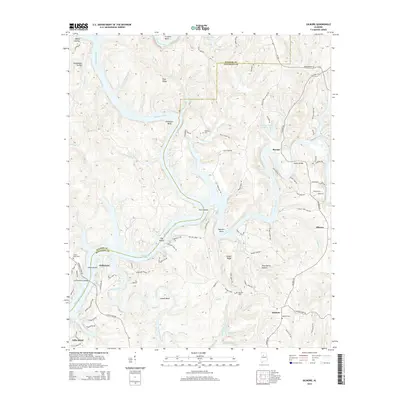
2014 Map of Gilmore
USGS Topo · Published 2014About this map
The Locust Fork and Mulberry Fork converge in this corner of Alabama, creating a complex waterscape defined by Bankhead Lake and the Black Warrior River. The landscape is a mix of industrial history and small riverfront settlements, where the ridge-and-valley topography dictates the placement of roads and homesteads. Local family and community history is anchored by several burial grounds, including Weaver Cem near Gilmore and Heard Shoal Cem overlooking the river bends.
Find a feature on this map
103 named features on this map. Tap any name to fly to it.
Don’t see what you’re looking for? This feature index may not catch every label — zoom into the map to look around manually.
Map Details
Editions of this 2014 Gilmore Map
This is the sole edition of this map. No revisions or reprints were ever made.
Other maps of this area

1893 · Jasper
USGS Topo · 1:125,000

1899 · Brookwood
USGS Topo · 1:125,000

1927 · Adger
USGS Topo · 1:48,000

1929 · Searles
USGS Topo · 1:48,000

1932 · Yolande
USGS Topo · 1:62,500

1934 · Searles
USGS Topo · 1:62,500

1935 · Port Birmingham
USGS Topo · 1:48,000

1935 · Yolande
USGS Topo · 1:62,500

1938 · Port Birmingham
USGS Topo · 1:62,500

1949 · Parrish
USGS Topo · 1:24,000