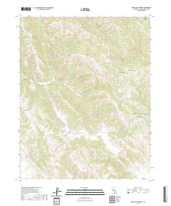
2021 Map of Gilroy Hot Springs
USGS Topo · Published 2021About this map
Willson Peak and the surrounding high ridges of the Diablo Range define this portion of Santa Clara County, where steep canyons and intricate drainage systems dictate the local geography. The map traces an extensive network of fire roads and footpaths, including the Anza Trl Trl and Jackson Trl Trl, reflecting the area's transition into a space for conservation and recreation. The terrain is marked by family-named landmarks and historical corridors like Cañada De Los Osos and Hunting Hollow, where the elevation drops toward the Coyote Creek basin.
Find a feature on this map
63 named features on this map. Tap any name to fly to it.
Don’t see what you’re looking for? This feature index may not catch every label — zoom into the map to look around manually.
Map Details
Editions of this 2021 Gilroy Hot Springs Map
This is the sole edition of this map. No revisions or reprints were ever made.
Other maps of this area

1915 · San Juan Bautista
USGS Topo · 1:48,000

1917 · Morgan Hill
USGS Topo · 1:62,500

1917 · San Juan Bautista
USGS Topo · 1:62,500

1919 · Hollister
USGS Topo · 1:48,000

1921 · Gilroy Hot Springs
USGS Topo · 1:62,500

1921 · Hollister
USGS Topo · 1:62,500

1923 · Hollister
USGS Topo · 1:62,500

1939 · Morgan Hill
USGS Topo · 1:62,500

1939 · Gilroy Hot Springs
USGS Topo · 1:62,500

1939 · San Juan Bautista
USGS Topo · 1:62,500