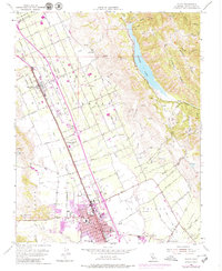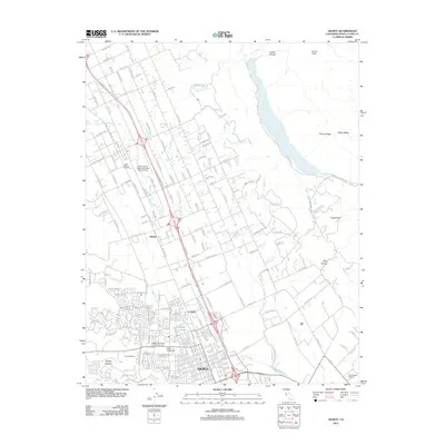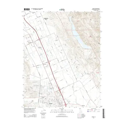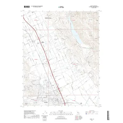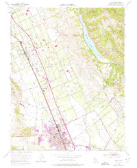
1955 Map of Gilroy
USGS Topo · Published 1974About this map
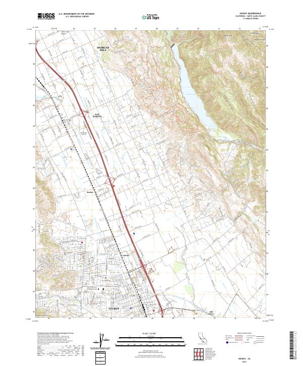
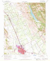
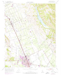
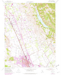
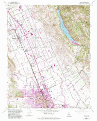
Agricultural development and early suburban expansion define this valley landscape in the mid-1950s, centered on the growing city of Gilroy. The settlement pattern follows the Southern Pacific rail line, which anchors established communities like San Martin and Rucker. This survey documents a critical period of growth for the region, with purple overprints from the late 1960s and early 70s showing the rapid outward spread of residential areas around Miller and the city core. This expansion is contrasted by the surrounding rugged topography, specifically the steep terrain of Timber Ridge and Sheep Ridge rising to the east above the waters of Coyote Lake. Local history and genealogy interest is concentrated in the density of named schools, such as St Marys Sch and Eliot Sch, and the presence of older foundations at Old Gilroy. The transition from ranching and orchard land to modern infrastructure is evident in the transition from local gravel pits to the prominent Airway Beacon and landing strips.
Find a feature on this map
54 named features on this map. Tap any name to fly to it.
Don’t see what you’re looking for? This feature index may not catch every label — zoom into the map to look around manually.
Map Details
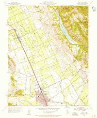
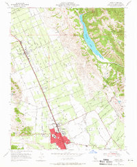
Editions of this 1955 Gilroy Map
7 editions found
Historical Maps of Gilroy Through Time
6 maps found