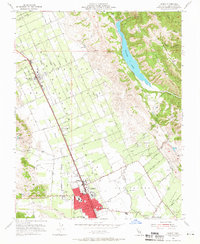
1955 Map of Gilroy
USGS Topo · Published 1966About this map
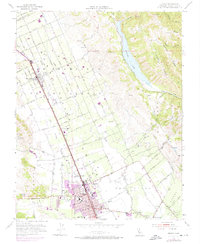
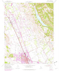
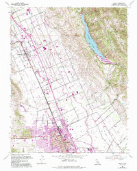
Gilroy and its surrounding agricultural valley appear in this mid-1950s record, centered on the Southern Pacific rail line and the historic Las Animas and San Ysidro land grants. The town's grid is dense with civic infrastructure, including St Marys Sch, Jordan Sch, and Eliot Sch, while the outlying landscape is a network of ranch roads and named creeks like Llagas Creek and Uvas Creek. To the east, the terrain rises sharply into Palassou Ridge and Timber Ridge, framing the large expanse of Coyote Lake. This survey captures the Santa Clara Valley transition from a series of scattered settlements like San Martin and Rucker into a more integrated regional hub, marked by landmarks such as the Airway Beacon and several schools that served the growing post-war population.
Find a feature on this map
49 named features on this map. Tap any name to fly to it.
Don’t see what you’re looking for? This feature index may not catch every label — zoom into the map to look around manually.
Map Details
Editions of this 1955 Gilroy Map
7 editions found
Other maps of this area

1915 · San Juan Bautista
USGS Topo · 1:48,000

1917 · Morgan Hill
USGS Topo · 1:62,500

1917 · San Juan Bautista
USGS Topo · 1:62,500

1919 · Hollister
USGS Topo · 1:48,000

1921 · Gilroy Hot Springs
USGS Topo · 1:62,500

1921 · Hollister
USGS Topo · 1:62,500

1923 · Hollister
USGS Topo · 1:62,500

1939 · Morgan Hill
USGS Topo · 1:62,500

1939 · Gilroy Hot Springs
USGS Topo · 1:62,500

1939 · San Juan Bautista
USGS Topo · 1:62,500