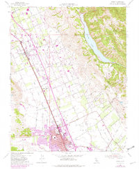
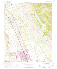
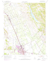
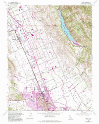
1955 Map of Gilroy
USGS Topo · Published 1982About this map
Gilroy and its surrounding agricultural valleys are detailed in this mid-century topographic record, showing the transition from rural orchards to expanding suburban infrastructure. The corridor of the Southern Pacific railroad remains a primary artery, connecting settlements like San Martin and Rucker through a landscape defined by historic land grants such as San Francisco de las Llagas and San Ysidro. Water management is a prominent theme, from the broad Coyote Lake reservoir in the eastern hills to the network of irrigation sloughs like Miller Slough and the winding Llagas Creek. Local community life is evidenced by St Marys Sch and the Drive-in Theater on the edge of town, while the appearance of the South County Airport and new roadway alignments in the updated purple layers signal the post-war growth of the Santa Clara Valley.
Find a feature on this map
48 named features on this map. Tap any name to fly to it.
Don’t see what you’re looking for? This feature index may not catch every label — zoom into the map to look around manually.
Map Details
Editions of this 1955 Gilroy Map
7 editions found
Other maps of this area

1915 · San Juan Bautista
USGS Topo · 1:48,000

1917 · Morgan Hill
USGS Topo · 1:62,500

1917 · San Juan Bautista
USGS Topo · 1:62,500

1919 · Hollister
USGS Topo · 1:48,000

1921 · Gilroy Hot Springs
USGS Topo · 1:62,500

1921 · Hollister
USGS Topo · 1:62,500

1923 · Hollister
USGS Topo · 1:62,500

1939 · Morgan Hill
USGS Topo · 1:62,500

1939 · Gilroy Hot Springs
USGS Topo · 1:62,500

1939 · San Juan Bautista
USGS Topo · 1:62,500