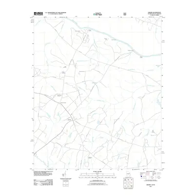
2024 Map of Girard
USGS Topo · Published 2024About this map
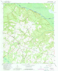
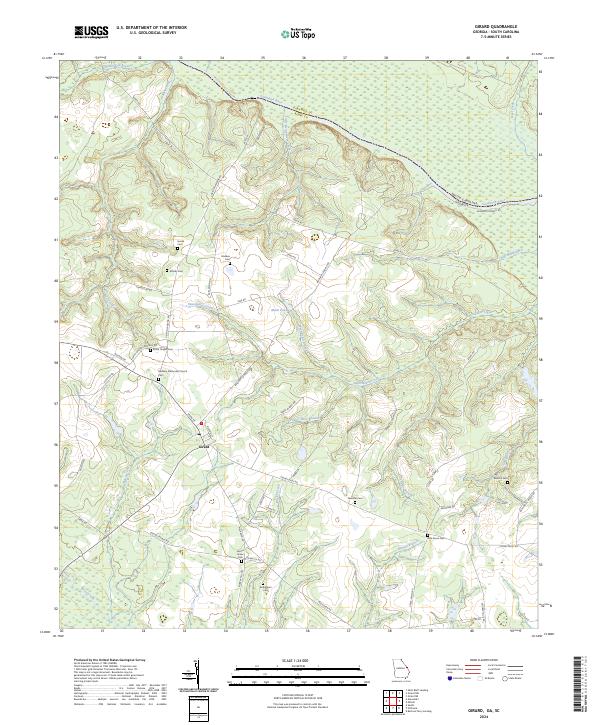
Girard serves as the primary hub in this corner of Burke County, where the topography transitions toward the lowlands of the Savannah River. The town layout is anchored by Bethany Methodist Church and a Post Office near the junction of Main St and Buxton St. The surrounding landscape is defined by a high density of small family and community burial grounds, including Heath Cem, Godbee Cem, and Moody Cem, which speak to the area’s deep genealogical roots and long-standing rural settlements.
Find a feature on this map
64 named features on this map. Tap any name to fly to it.
Don’t see what you’re looking for? This feature index may not catch every label — zoom into the map to look around manually.
Map Details
Editions of this 2024 Girard Map
This is the sole edition of this map. No revisions or reprints were ever made.
Historical Maps of Girard Through Time
6 maps found