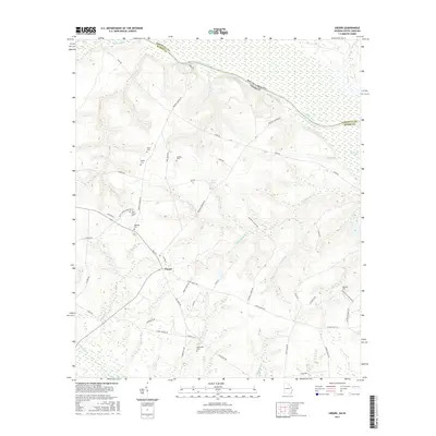
2017 Map of Girard
USGS Topo · Published 2017About this map
The small town of Girard serves as a central hub for this portion of Burke County, where the landscape is defined by the proximity to the Savannah River and the winding course of Brier Creek. This 2017 survey shows a region deeply connected to its local heritage, with numerous family-named cemeteries such as Heath Cem, Moody Cem, and Godbee Cem scattered throughout the rural landscape. The road network, including Griffin Landing Rd and Brigham Landing Rd, suggests historical connections to the river's edge, while agricultural and timber interests are hinted at by named water features like Mash Pond and Shoemaker Lake. The presence of several churches and burial grounds, such as Smith Chapel Cem and Bethlehem Cem, provides a detailed record of community nodes that have persisted over time in this Georgia-South Carolina border region.
Find a feature on this map
60 named features on this map. Tap any name to fly to it.
Don’t see what you’re looking for? This feature index may not catch every label — zoom into the map to look around manually.
Map Details
Editions of this 2017 Girard Map
This is the sole edition of this map. No revisions or reprints were ever made.
Other maps of this area
1920 · Ellenton
USGS Topo · 1:48,000
1920 · Hilltonia
USGS Topo · 1:62,500
1920 · Millen
USGS Topo · 1:62,500
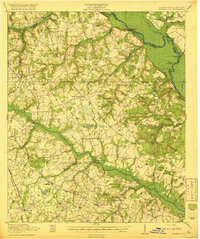
1920 · Greens Cut
USGS Topo · 1:62,500
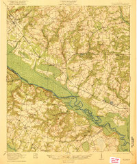
1921 · Ellenton
USGS Topo · 1:62,500
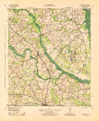
1943 · Hilltonia
USGS Topo · 1:62,500
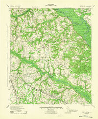
1943 · Greens Cut
USGS Topo · 1:62,500
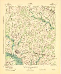
1943 · Millen
USGS Topo · 1:62,500
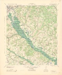
1943 · Augusta East
USGS Topo · 1:125,000
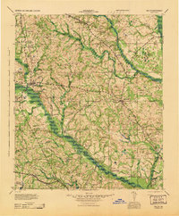
1943 · Millen
USGS Topo · 1:125,000