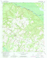
1964 Map of Girard
USGS Topo · Published 1989About this map
Girard serves as the focal point of this Eastern Georgia landscape, situated just west of the Savannah River at a time when the region's agricultural character interfaced with major Cold War infrastructure. To the northeast, the Savannah River Plant occupies a significant portion of the riverfront, its presence marked by the U S Reservation Boundary and various river landings like Buxton Landing and Ellisons Landing. The map reveals a deeply rooted rural community evidenced by a dense network of country churches and family-linked burial grounds, including Cochran Grove Ch and Bethlehem Cem. The terrain is defined by the convergence of numerous watercourses, such as Beaverdam Creek and Sweetwater Creek, which drain toward the river through the coastal plain. The placement of the Girard Jr High Sch and multiple small congregations like Thankful Ch reflects the social centers of this Burke County community during the mid-to-late twentieth century.
Find a feature on this map
54 named features on this map. Tap any name to fly to it.
Don’t see what you’re looking for? This feature index may not catch every label — zoom into the map to look around manually.
Map Details
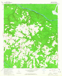
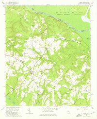
Editions of this 1964 Girard Map
3 editions found
Other maps of this area

1920 · Ellenton
USGS Topo · 1:48,000

1920 · Hilltonia
USGS Topo · 1:62,500

1920 · Millen
USGS Topo · 1:62,500

1920 · Greens Cut
USGS Topo · 1:62,500

1921 · Ellenton
USGS Topo · 1:62,500

1943 · Hilltonia
USGS Topo · 1:62,500

1943 · Greens Cut
USGS Topo · 1:62,500

1943 · Millen
USGS Topo · 1:62,500

1943 · Augusta East
USGS Topo · 1:125,000

1943 · Millen
USGS Topo · 1:125,000