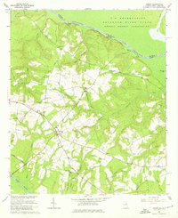
1964 Map of Girard
USGS Topo · Published 1976About this map
The Savannah River forms a massive political and industrial boundary in this 1964 survey, separating Burke County, Georgia, from the restricted Savannah River Plant in South Carolina. While the northern portion of the map is dominated by federal land and river landings like Ellisons Landing and Buxton Landing, the Georgia side preserves a traditional agricultural landscape centered on the town of Girard. This rural community is defined by a network of local institutions, including the Girard Jr High School and numerous country churches such as Bethany Church and Cochran Grove Church. Significant topographic features like Stony Bluff and several family-named cemeteries, including Smith Chapel Cemetery, provide clear landmarks for genealogists tracing the area's 20th-century history. The map also documents the complex drainage of the river bottomlands through Beaverdam Creek and Sweetwater Branch.
Find a feature on this map
48 named features on this map. Tap any name to fly to it.
Don’t see what you’re looking for? This feature index may not catch every label — zoom into the map to look around manually.
Map Details
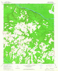
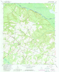
Editions of this 1964 Girard Map
3 editions found
Other maps of this area

1920 · Ellenton
USGS Topo · 1:48,000

1920 · Hilltonia
USGS Topo · 1:62,500

1920 · Millen
USGS Topo · 1:62,500

1920 · Greens Cut
USGS Topo · 1:62,500

1921 · Ellenton
USGS Topo · 1:62,500

1943 · Hilltonia
USGS Topo · 1:62,500

1943 · Greens Cut
USGS Topo · 1:62,500

1943 · Millen
USGS Topo · 1:62,500

1943 · Augusta East
USGS Topo · 1:125,000

1943 · Millen
USGS Topo · 1:125,000