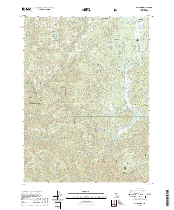
2023 Map of Girard Ridge
USGS Topo · Published 2023About this map
McCloud sits at the northern edge of this high-elevation landscape, where the lumber and rail legacy of the region is evident in the layout of Old Mill Rd and Cemetery Rd near the McCloud Cem. The terrain is defined by significant vertical relief, dominated by the spine of Girard Ridge and the prominent Dogwood Butte. Much of the area is managed as the Shasta National Forest, a territory carved by a complex drainage system including Soda Creek, Cottonwood Creek, and Trough Creek. A segment of the Pacific Crest National Scenic Trl winds through the southern half of the quadrangle, crossing numerous seasonal drainages such as Cabin Creek and Shingle Creek. The map documents a landscape of managed timberlands and recreational corridors, from the seasonal residence at Dan Stevens to the remote peak of Ponto Park.
Find a feature on this map
44 named features on this map. Tap any name to fly to it.
Don’t see what you’re looking for? This feature index may not catch every label — zoom into the map to look around manually.
Map Details
Editions of this 2023 Girard Ridge Map
This is the sole edition of this map. No revisions or reprints were ever made.
Other maps of this area

1886 · Shasta
USGS Topo · 1:250,000

1894 · Shasta
USGS Topo · 1:250,000

1935 · Dunsmuir
USGS Topo · 1:125,000

1948 · Weed
USGS Topo · 1:250,000

1950 · Weed
USGS Topo · 1:250,000

1954 · Shoeinhorse Mountain
USGS Topo · 1:62,500

1954 · Shasta
USGS Topo · 1:62,500

1954 · Weed
USGS Topo · 1:62,500

1954 · Dunsmuir
USGS Topo · 1:62,500

1958 · Weed
USGS Topo · 1:250,000