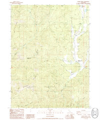
1986 Map of Girard Ridge
USGS Topo · Published 1986About this map
Girard Ridge dominates this northern California landscape, which marks the transition from the high peaks of the Shasta National Forest down toward the southern edge of the McCloud area. In the 1980s, this region was characterized by a mix of forest recreation and utility, with Soda Springs and a Campground situated near Squaw Valley Creek. The northern portion of the map shows the edge of the McCloud townsite, including a local Cem and Sewage Disposal Ponds near the Golf Course Creek.
Find a feature on this map
33 named features on this map. Tap any name to fly to it.
Don’t see what you’re looking for? This feature index may not catch every label — zoom into the map to look around manually.
Map Details
Editions of this 1986 Girard Ridge Map
This is the sole edition of this map. No revisions or reprints were ever made.
Other maps of this area

1886 · Shasta
USGS Topo · 1:250,000

1894 · Shasta
USGS Topo · 1:250,000

1935 · Dunsmuir
USGS Topo · 1:125,000

1948 · Weed
USGS Topo · 1:250,000

1950 · Weed
USGS Topo · 1:250,000

1954 · Shoeinhorse Mountain
USGS Topo · 1:62,500

1954 · Shasta
USGS Topo · 1:62,500

1954 · Weed
USGS Topo · 1:62,500

1954 · Dunsmuir
USGS Topo · 1:62,500

1958 · Weed
USGS Topo · 1:250,000