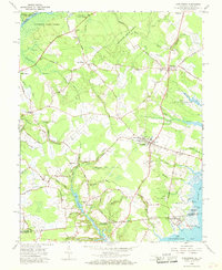
1966 Map of Girdletree
USGS Topo · Published 1968About this map
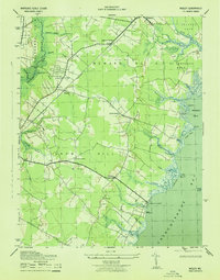
Chincoteague Bay and the tidal wetlands of the Maryland-Virginia border define this coastal landscape during the mid-1960s. The region is characterized by small, established agricultural and fishing settlements like Stockton, Girdletree, and Greenbackville, connected by a network of rural roads such as Pilchard Road and Sign Post Road. Water remains central to local life, with Big Millpond and Little Millpond indicating the historical importance of milling, while Franklin City sits at the edge of the marshes near Long Point.
Find a feature on this map
93 named features on this map. Tap any name to fly to it.
Don’t see what you’re looking for? This feature index may not catch every label — zoom into the map to look around manually.
Map Details
Editions of this 1966 Girdletree Map
4 editions found
Other maps of this area

1901 · Snow Hill
USGS Topo · 1:62,500

1942 · Chincoteague East
USGS Topo · 1:24,000

1942 · Snow Hill
USGS Topo · 1:24,000

1942 · Wesley
USGS Topo · 1:24,000

1942 · Dividing Creek
USGS Topo · 1:24,000

1943 · Snow Hill
USGS Topo · 1:31,680

1943 · Boxiron
USGS Topo · 1:31,680

1943 · Dividing Creek
USGS Topo · 1:31,680
1943 · Wesley
USGS Topo · 1:31,680

1943 · Chincoteague West
USGS Topo · 1:31,680