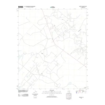
2010 Map of Girvin NE
USGS Topo · Published 2010About this map
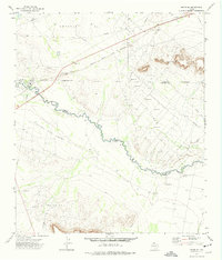
The Roberdeau Oil Field and Crossett Oil Field define the industrial footprint of this West Texas landscape during the early 21st century. Situated in Crane County, the terrain is characterized by the prominent elevation of King Mountain to the east and the broad expanse of Spudder Flats to the north. The map reveals an intricate network of specialized access roads and thoroughfares essential to the energy sector, including Letter B Rd, Lyles Rd, and Soda Lake Rd. This survey captures the region's utilitarian infrastructure, showing how modern industry has shaped the movement and development patterns across this arid portion of the Permian Basin. Local geography is further detailed through specific routes such as Beaver Rd and several numbered county roads like Co Rd 312, providing a clear view of the area's logistical layout.
Find a feature on this map
13 named features on this map. Tap any name to fly to it.
Don’t see what you’re looking for? This feature index may not catch every label — zoom into the map to look around manually.
Map Details
Editions of this 2010 Girvin NE Map
This is the sole edition of this map. No revisions or reprints were ever made.
Other maps of this area

1928 · Crane
USGS Topo · 1:125,000

1954 · Pecos
USGS Topo · 1:250,000

1957 · Pecos
USGS Topo · 1:250,000

1971 · Marlboro Canyon
USGS Topo · 1:24,000

1972 · Girvin NE
USGS Topo · 1:24,000
1972 · McCamey South
USGS Topo · 1:24,000
1972 · McCamey North
USGS Topo · 1:24,000
1972 · Girvin
USGS Topo · 1:24,000
1972 · Girvin SE
USGS Topo · 1:24,000
1972 · Girvin NW
USGS Topo · 1:24,000