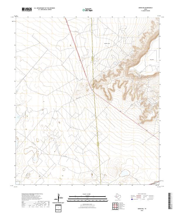
2022 Map of Girvin NE
USGS Topo · Published 2022About this map
King Mtn dominates the eastern horizon of this West Texas landscape, where the high plateau gives way to the deep incisions of the surrounding canyons. This arid expanse is defined by its ranch roads and drainage patterns, including the intermittent waters of Soda Lake in the west. The boundary between Upton County and Crane County bisects the sheet, cutting through the level terrain of Spudder Flats. The map documents a sparsely populated region reliant on a network of unpaved tracks like Letter B Rd and Soda Lake Rd, illustrating the vast distances and isolation characteristic of the Permian Basin's transition into the Edwards Plateau. The intricate contour lines around the mountain front reveal the complex erosion of the caprock, providing a clear record of the physical geography of the Trans-Pecos region.
Find a feature on this map
14 named features on this map. Tap any name to fly to it.
Don’t see what you’re looking for? This feature index may not catch every label — zoom into the map to look around manually.
Map Details
Editions of this 2022 Girvin NE Map
This is the sole edition of this map. No revisions or reprints were ever made.
Other maps of this area

1928 · Crane
USGS Topo · 1:125,000

1954 · Pecos
USGS Topo · 1:250,000

1957 · Pecos
USGS Topo · 1:250,000

1971 · Marlboro Canyon
USGS Topo · 1:24,000

1972 · Girvin NE
USGS Topo · 1:24,000
1972 · McCamey South
USGS Topo · 1:24,000
1972 · McCamey North
USGS Topo · 1:24,000
1972 · Girvin
USGS Topo · 1:24,000
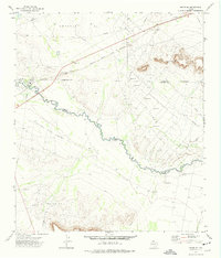
1972 · Girvin SE
USGS Topo · 1:24,000
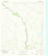
1972 · Girvin NW
USGS Topo · 1:24,000