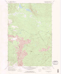
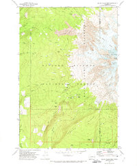
1970 Map of Glaciate Butte
USGS Topo · Published 1974About this map
The Lava flows of the Cascade Range dominate this 1970 landscape, creating a distinctive geological floor for the Mount Adams Wilderness. The map reveals a complex network of traditional routes, including the Old Pack Trail and Trappers Trail, which navigate the transition from the forested slopes of the Gifford Pinchot National Forest into the high volcanic terrain. These trails connect notable high-country sites like Foggy Flat and Glaciate Butte, providing insight into how the land was managed and traversed before modern road development was fully realized.
Find a feature on this map
24 named features on this map. Tap any name to fly to it.
Don’t see what you’re looking for? This feature index may not catch every label — zoom into the map to look around manually.
Map Details
Editions of this 1970 Glaciate Butte Map
2 editions found
Other maps of this area

1904 · Mount Adams
USGS Topo · 1:125,000

1907 · Mount Adams
USGS Topo · 1:125,000

1926 · Steamboat Mtn
USGS Topo · 1:125,000

1931 · Steamboat Mtn
USGS Topo · 1:125,000

1950 · Yakima
USGS Topo · 1:250,000

1958 · Yakima
USGS Topo · 1:250,000

1961 · Yakima
USGS Topo · 1:250,000
1970 · Hamilton Buttes
USGS Topo · 1:24,000
1970 · Walupt Lake
USGS Topo · 1:24,000
1970 · Mount Adams West
USGS Topo · 1:24,000