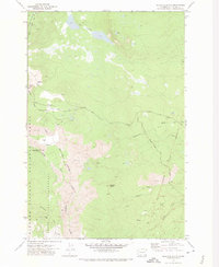
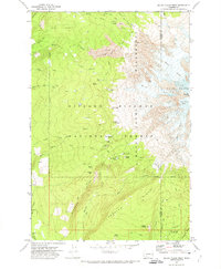
1970 Map of Glaciate Butte
USGS Topo · Published 1974About this map
Gifford Pinchot National Forest and the Yakima Indian Reservation meet in this 1970s record of a volatile volcanic landscape. Large fields of lava dominate the central and southwestern terrain, flowing from the heights of Potato Hill and surrounding peaks toward Foggy Flat. The map documents the boundary between managed timberlands and the Mount Adams Wilderness, where high-altitude water features like Two Lakes and the headwaters of Clearwater Creek are accessed by the Highline Trail and several Pack Trails. Local forest management is anchored at the Potato Hill Guard Station, situated near the Potato Hill Road. This survey provides essential detail for understanding the drainage patterns of the Muddy Fork and Cold Creek before modern reforestation changed the visibility of these ancient volcanic flows.
Find a feature on this map
25 named features on this map. Tap any name to fly to it.
Don’t see what you’re looking for? This feature index may not catch every label — zoom into the map to look around manually.
Map Details
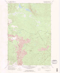
Editions of this 1970 Glaciate Butte Map
2 editions found
Other maps of this area

1904 · Mount Adams
USGS Topo · 1:125,000

1907 · Mount Adams
USGS Topo · 1:125,000

1926 · Steamboat Mtn
USGS Topo · 1:125,000

1931 · Steamboat Mtn
USGS Topo · 1:125,000

1950 · Yakima
USGS Topo · 1:250,000

1958 · Yakima
USGS Topo · 1:250,000

1961 · Yakima
USGS Topo · 1:250,000
1970 · Hamilton Buttes
USGS Topo · 1:24,000
1970 · Walupt Lake
USGS Topo · 1:24,000
1970 · Mount Adams West
USGS Topo · 1:24,000