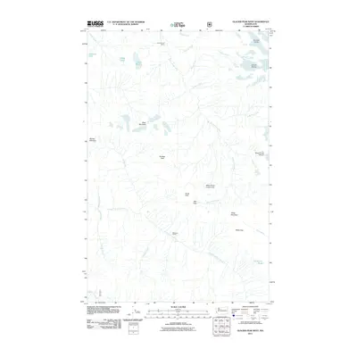
2011 Map of Glacier Peak West
USGS Topo · Published 2011About this map
White Chuck Glacier and Sitkum Glacier dominate the high-elevation ridges of this North Cascades terrain, where glacial ice feeds a complex network of alpine drainage. The White Chuck River and North Fork Sauk River originate here, carving deep valleys between prominent landmarks such as Black Mountain and White Mountain. This 2011 survey documents a landscape defined by significant geologic features, including the White Chuck Cinder Cone and the geothermal activity at Kennedy Hot Spring.
Find a feature on this map
31 named features on this map. Tap any name to fly to it.
Don’t see what you’re looking for? This feature index may not catch every label — zoom into the map to look around manually.
Map Details
Editions of this 2011 Glacier Peak West Map
This is the sole edition of this map. No revisions or reprints were ever made.
Other maps of this area

1899 · Glacier Peak
USGS Topo · 1:125,000

1901 · Glacier Peak
USGS Topo · 1:125,000

1902 · Skykomish
USGS Topo · 1:125,000

1905 · Skykomish
USGS Topo · 1:125,000

1950 · Glacier Peak
USGS Topo · 1:62,500

1955 · Concrete
USGS Topo · 1:250,000

1957 · Wenatchee
USGS Topo · 1:250,000

1958 · Concrete
USGS Topo · 1:250,000

1962 · Concrete
USGS Topo · 1:250,000

1965 · Poe Mountain
USGS Topo · 1:24,000