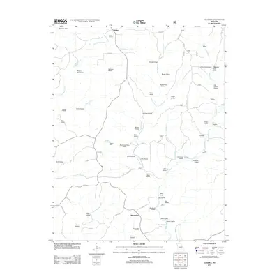
2011 Map of Gladden
USGS Topo · Published 2011About this map
The settlement of Gladden anchor’s the northern reach of this Dent County landscape, where the Ozark terrain is defined by an intricate network of named hollows and spring-fed branches. Central to the local geography is Lake Deeken, held by Deeken Dam, providing a rare open water feature amidst the densely wooded ridges. Further south, the community of Shannondale sits near the confluence of several valleys, including Cyclone Hollow and Store Hollow.
Find a feature on this map
75 named features on this map. Tap any name to fly to it.
Don’t see what you’re looking for? This feature index may not catch every label — zoom into the map to look around manually.
Map Details
Editions of this 2011 Gladden Map
This is the sole edition of this map. No revisions or reprints were ever made.
Other maps of this area

1932 · Cedar Grove
USGS Topo · 1:48,000

1941 · Salem
USGS Topo · 1:62,500

1941 · Stone Hill
USGS Topo · 1:62,500

1945 · Salem
USGS Topo · 1:62,500

1945 · Stone Hill
USGS Topo · 1:62,500

1945 · Round Spring
USGS Topo · 1:62,500

1947 · Sinkin
USGS Topo · 1:48,000

1949 · Round Spring
USGS Topo · 1:62,500

1949 · Rolla
USGS Topo · 1:250,000

1951 · Cedargrove
USGS Topo · 1:24,000