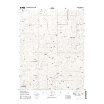
2015 Map of Gladden
USGS Topo · Published 2015About this map
Gladden and Shannondale anchor this section of the Ozarks, where the terrain is defined by a dense network of hollows and seasonal springs. The landscape transition between Mark Twain National Forest and the Ozark National Scenic Riverways reflects the conservation-heavy character of Dent and Shannon Counties. Genealogists and local historians can find several established burial grounds, including Empire Cemetery, Bedwell Cemetery, and Pilgrims Rest Cemetery, which are often the only remaining markers of early pioneer family settlements. Many labels hint at early industry and land use, such as Orchard Mill Hollow and Coalpit Hollow, while water sources like Shelton Spring and Lake Deeken provide vital points of interest in this heavily forested region. The map also traces the winding courses of Little Gladden Cr and Barren Fork, alongside numerous county roads that follow the ridges.
Find a feature on this map
96 named features on this map. Tap any name to fly to it.
Don’t see what you’re looking for? This feature index may not catch every label — zoom into the map to look around manually.
Map Details
Editions of this 2015 Gladden Map
This is the sole edition of this map. No revisions or reprints were ever made.
Other maps of this area

1932 · Cedar Grove
USGS Topo · 1:48,000

1941 · Salem
USGS Topo · 1:62,500

1941 · Stone Hill
USGS Topo · 1:62,500

1945 · Salem
USGS Topo · 1:62,500

1945 · Stone Hill
USGS Topo · 1:62,500

1945 · Round Spring
USGS Topo · 1:62,500

1947 · Sinkin
USGS Topo · 1:48,000

1949 · Round Spring
USGS Topo · 1:62,500

1949 · Rolla
USGS Topo · 1:250,000

1951 · Cedargrove
USGS Topo · 1:24,000