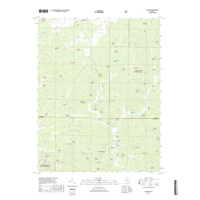
2017 Map of Gladden
USGS Topo · Published 2017About this map
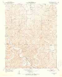
Shannondale and Gladden anchor this study of the Missouri Ozarks, a landscape defined by an intricate network of narrow valleys and family-named hollows. The terrain transitions between the Mark Twain National Forest to the north and the Ozark National Scenic Riverway along the southern margin. This drainage system is particularly dense, with Gladden Waters, Little Gladden Creek, and Barren Fork carving through the plateau. Local history is preserved in small rural burial sites like Empire Cemetery and Pilgrims Rest Cemetery, while landmarks such as Shelton Spring and Lake Deeken provide reliable water sources in this karst-influenced topography. The map illustrates a deeply rural pattern of settlement where life follows the natural contours of places like Persimmon Pond Hollow and Pigeon Roost Hollow.
Find a feature on this map
99 named features on this map. Tap any name to fly to it.
Don’t see what you’re looking for? This feature index may not catch every label — zoom into the map to look around manually.
Map Details
Editions of this 2017 Gladden Map
This is the sole edition of this map. No revisions or reprints were ever made.
Other maps of this area
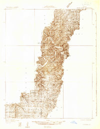
1932 · Cedar Grove
USGS Topo · 1:48,000
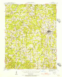
1941 · Salem
USGS Topo · 1:62,500
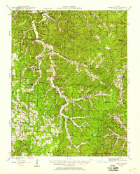
1941 · Stone Hill
USGS Topo · 1:62,500

1945 · Salem
USGS Topo · 1:62,500
1945 · Stone Hill
USGS Topo · 1:62,500
1945 · Round Spring
USGS Topo · 1:62,500
1947 · Sinkin
USGS Topo · 1:48,000
1949 · Round Spring
USGS Topo · 1:62,500

1949 · Rolla
USGS Topo · 1:250,000
1951 · Cedargrove
USGS Topo · 1:24,000