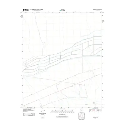
2011 Map of Gladden
USGS Topo · Published 2011About this map
Gladden serves as a central reference point in this western Arizona landscape, situated along a primary thoroughfare that cuts through the desert terrain. To the south, the topography rises into the Harquahala Mountains, where the drainage of Dushey Canyon descends toward the valley floor. The map highlights a network of specialized routes, including Irrigation Access Rd and Urea Ranch Rd, which suggest the area's agricultural and ranching history. Vital water resources in this arid environment are marked by features like Dushey Tank and Sunset Tank, illustrating the critical infrastructure required for land management in Maricopa County during the early 21st century.
Find a feature on this map
10 named features on this map. Tap any name to fly to it.
Don’t see what you’re looking for? This feature index may not catch every label — zoom into the map to look around manually.
Map Details
Editions of this 2011 Gladden Map
This is the sole edition of this map. No revisions or reprints were ever made.
Other maps of this area

1923 · Signal
USGS Topo · 1:250,000

1942 · Signal
USGS Topo · 1:250,000

1942 · Vicksburg
USGS Topo · 1:250,000

1950 · Prescott
USGS Topo · 1:250,000

1954 · Prescott
USGS Topo · 1:250,000

1954 · Phoenix
USGS Topo · 1:250,000

1957 · Phoenix
USGS Topo · 1:250,000

1958 · Prescott
USGS Topo · 1:250,000

1958 · Phoenix
USGS Topo · 1:250,000

1959 · Prescott
USGS Topo · 1:250,000