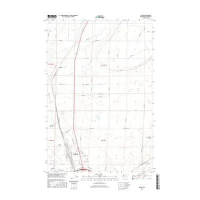
2017 Map of Glade
USGS Topo · Published 2017About this map
Pasco serves as the primary urban center for this Franklin County landscape, showing the city's northward expansion toward the settlement of Glade. The map captures a high-desert environment shaped by infrastructure and aviation, centered on the Tri-Cities Airport and the campus of Columbia Basin College. The transport network is particularly dense here, where N Railroad Ave and major thoroughfares like Pasco-Kahlotus Road intersect with the agricultural grid of the Columbia Basin.
Find a feature on this map
59 named features on this map. Tap any name to fly to it.
Don’t see what you’re looking for? This feature index may not catch every label — zoom into the map to look around manually.
Map Details
Editions of this 2017 Glade Map
This is the sole edition of this map. No revisions or reprints were ever made.
Other maps of this area

1915 · Wallulah
USGS Topo · 1:96,000

1917 · Pasco
USGS Topo · 1:125,000

1918 · Wallula
USGS Topo · 1:125,000

1953 · Walla Walla
USGS Topo · 1:250,000

1958 · Walla Walla
USGS Topo · 1:250,000

1963 · Rye Grass Coulee
USGS Topo · 1:24,000

1964 · Levey SW
USGS Topo · 1:24,000

1964 · Humorist
USGS Topo · 1:24,000

1964 · Kennewick
USGS Topo · 1:24,000

1964 · Pasco
USGS Topo · 1:62,500