
1964 Map of Levey SW
USGS Topo · Published 1965About this map
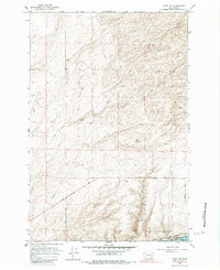
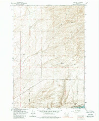
Snake River frontage and the massive engineering of the Ice Harbor Dam dominate this mid-century look at the border of Franklin Co and Walla Walla Co. The landscape is characterized by shifting Sand Dunes and the prominent Sandridge, where the terrain transitions toward a more industrial and transport-heavy corridor along the water. Significant infrastructure is mapped in detail, including a major Pipeline cutting across the northern sections and the tracks of the Spokane Portland and Seattle railroad following the river’s curve. Local transit and land use are evidenced by the Pasco Kahlotus Road, a Jeep Trail, and several resource extraction sites like a Gravel Pit and Borrow Pit, illustrating a period of active construction and utility development in the Washington interior.
Find a feature on this map
17 named features on this map. Tap any name to fly to it.
Don’t see what you’re looking for? This feature index may not catch every label — zoom into the map to look around manually.
Map Details
Editions of this 1964 Levey SW Map
3 editions found
Other maps of this area

1915 · Wallulah
USGS Topo · 1:96,000

1917 · Pasco
USGS Topo · 1:125,000

1918 · Wallula
USGS Topo · 1:125,000

1953 · Walla Walla
USGS Topo · 1:250,000

1958 · Walla Walla
USGS Topo · 1:250,000

1963 · Rye Grass Coulee
USGS Topo · 1:24,000

1964 · Levey SE
USGS Topo · 1:24,000

1964 · Slater
USGS Topo · 1:24,000

1964 · Levey NE
USGS Topo · 1:24,000

1964 · Humorist
USGS Topo · 1:24,000