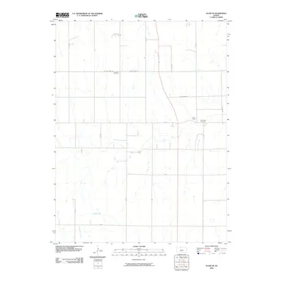
2009 Map of Glade SE
USGS Topo · Published 2009About this map
Bow Creek meanders through this portion of Phillips County, defining a landscape marked by systematic rural survey and long-standing community landmarks. The terrain is structured by a strict section-line road grid, featuring uniquely named routes such as W Big Bear Rd and E Day Dream Rd. For those tracing local history or family lineage, the presence of Lockwood Cemetery and Bow Creek Cemetery provides specific geographic anchors within the agricultural expanse. The drainage network is further detailed by Dibble Creek, Cocklebur Creek, and Borin Creek, which underscore the significance of water access in this high plains environment during the early 21st century.
Find a feature on this map
24 named features on this map. Tap any name to fly to it.
Don’t see what you’re looking for? This feature index may not catch every label — zoom into the map to look around manually.
Map Details
Editions of this 2009 Glade SE Map
This is the sole edition of this map. No revisions or reprints were ever made.
Other maps of this area

1893 · Phillipsburg
USGS Topo · 1:125,000

1896 · Plainville
USGS Topo · 1:125,000

1952 · Webster Dam
USGS Topo · 1:24,000

1953 · Woodston NW
USGS Topo · 1:24,000

1953 · Stockton
USGS Topo · 1:24,000

1955 · Beloit
USGS Topo · 1:250,000

1959 · Beloit
USGS Topo · 1:250,000

1961 · Kirwin SW
USGS Topo · 1:24,000

1972 · Speed
USGS Topo · 1:24,000

1972 · Glade SW
USGS Topo · 1:24,000