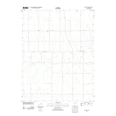
2012 Map of Glade SE
USGS Topo · Published 2012About this map
The agrarian landscape of Phillips County is defined by a grid of rural routes and the wandering paths of several prairie streams. The area is anchored by the winding course of Bow Cr, which flows eastward across the center of the sheet, joined by smaller tributaries like Dibble Cr, Borin Cr, and Cocklebur Cr. These watercourses create the subtle drainage patterns that shaped the early settlement and road layout of the region.
Find a feature on this map
25 named features on this map. Tap any name to fly to it.
Don’t see what you’re looking for? This feature index may not catch every label — zoom into the map to look around manually.
Map Details
Editions of this 2012 Glade SE Map
This is the sole edition of this map. No revisions or reprints were ever made.
Other maps of this area

1893 · Phillipsburg
USGS Topo · 1:125,000

1896 · Plainville
USGS Topo · 1:125,000

1952 · Webster Dam
USGS Topo · 1:24,000

1953 · Woodston NW
USGS Topo · 1:24,000

1953 · Stockton
USGS Topo · 1:24,000

1955 · Beloit
USGS Topo · 1:250,000

1959 · Beloit
USGS Topo · 1:250,000

1961 · Kirwin SW
USGS Topo · 1:24,000

1972 · Speed
USGS Topo · 1:24,000

1972 · Glade SW
USGS Topo · 1:24,000