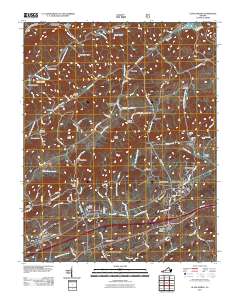
2011 Map of Glade Spring
USGS Topo · Published 2011About this map
Emory and Henry College stands as a central landmark in this Southwest Virginia landscape, surrounded by a dense network of family-named cemeteries and rural settlements. The terrain is defined by parallel ridges and valleys, with Hall Knob, Kelly Ridge, and Bald Knob rising between the numerous branches of Hall Creek and the North Fork Holston River. This 2011 survey documents the established corridors of the Hillman Hwy and Old Stage Rd, which connect the communities of Emory, Glade Spring, and Meadowview. Local history is deeply etched into the map through features like the Old Glade Spring Cemetery, Smyth Chapel, and smaller family plots such as the Snodgrass Cemetery and Worley Cemetery. The northern reaches include the industrial-tinged settlement of Plasterco and the winding course of Tumbling Creek, illustrating the region's mix of academic influence, agricultural heritage, and natural geography.
Find a feature on this map
69 named features on this map. Tap any name to fly to it.
Don’t see what you’re looking for? This feature index may not catch every label — zoom into the map to look around manually.
Map Details
Editions of this 2011 Glade Spring Map
This is the sole edition of this map. No revisions or reprints were ever made.
Other maps of this area

1891 · Abingdon
USGS Topo · 1:125,000

1894 · Abingdon
USGS Topo · 1:125,000

1909 · Abingdon
USGS Topo · 1:96,000

1911 · Abingdon
USGS Topo · 1:125,000

1935 · Konnarock
USGS Topo · 1:24,000

1935 · Chilhowie
USGS Topo · 1:24,000
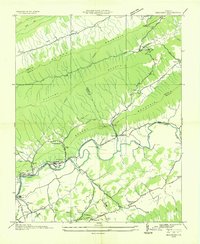
1935 · Maccrady
USGS Topo · 1:24,000
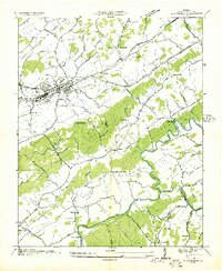
1935 · Abingdon
USGS Topo · 1:24,000

1935 · Mount Rogers
USGS Topo · 1:48,000
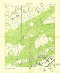
1935 · Saltville
USGS Topo · 1:24,000