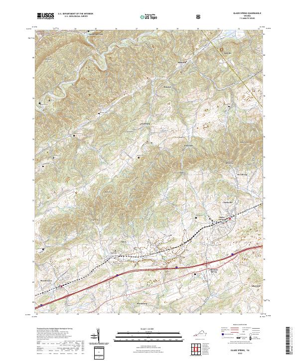
2022 Map of Glade Spring
USGS Topo · Published 2022About this map
Emory and Henry College serves as a central anchor for the landscape of Southwest Virginia, located along the southern corridor of this survey. The region is defined by the parallel ridges of Walker Mtn and Chestnut Ridge, creating the fertile Rich Valley where settlements like Saltville and Plasterco are situated. The industrial and academic history of the area is tied to the Norfolk Southern railway line, which connects the college town of Emory with Meadowview and Glade Spring. Genealogy researchers will find significant value in the dense distribution of burial grounds, including the Old Glade Spring Cem and numerous family-named sites such as Worley Cem and McNew Cem. The northern boundary is marked by the North Fork Holston River as it winds through Tumbling Creek and into the Jefferson National Forest.
Find a feature on this map
162 named features on this map. Tap any name to fly to it.
Don’t see what you’re looking for? This feature index may not catch every label — zoom into the map to look around manually.
Map Details
Editions of this 2022 Glade Spring Map
This is the sole edition of this map. No revisions or reprints were ever made.
Other maps of this area

1891 · Abingdon
USGS Topo · 1:125,000

1894 · Abingdon
USGS Topo · 1:125,000

1909 · Abingdon
USGS Topo · 1:96,000

1911 · Abingdon
USGS Topo · 1:125,000

1935 · Konnarock
USGS Topo · 1:24,000

1935 · Chilhowie
USGS Topo · 1:24,000
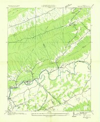
1935 · Maccrady
USGS Topo · 1:24,000
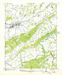
1935 · Abingdon
USGS Topo · 1:24,000

1935 · Mount Rogers
USGS Topo · 1:48,000
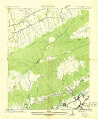
1935 · Saltville
USGS Topo · 1:24,000