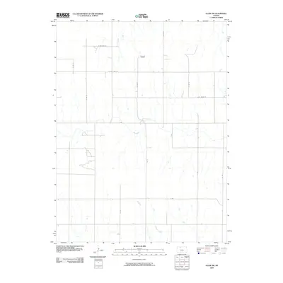
2009 Map of Glade SW
USGS Topo · Published 2009About this map
Plainview Cemetery stands as a central historical marker in this rural corner of Phillips County, where the landscape is defined by the winding paths of Bow Creek and Ash Creek. The 2009 survey reveals a grid of rural routes that provide insight into local land divisions and property access, with distinctively named roads such as W Day Dream Rd, W Cozy Cove Rd, and W Big Bear Rd crisscrossing the agricultural terrain. This area of Kansas maintains a low-density settlement pattern, typical of the high plains, where watercourses like Bow Creek dictate the topography and the placement of early farmsteads. The absence of a major town center underscores the isolation and quiet character of this agricultural district at the start of the 21st century.
Find a feature on this map
18 named features on this map. Tap any name to fly to it.
Don’t see what you’re looking for? This feature index may not catch every label — zoom into the map to look around manually.
Map Details
Editions of this 2009 Glade SW Map
This is the sole edition of this map. No revisions or reprints were ever made.
Other maps of this area

1893 · Norton
USGS Topo · 1:125,000

1893 · Phillipsburg
USGS Topo · 1:125,000

1893 · Hill
USGS Topo · 1:125,000

1896 · Plainville
USGS Topo · 1:125,000

1952 · Webster Dam
USGS Topo · 1:24,000

1953 · Stockton
USGS Topo · 1:24,000

1955 · Beloit
USGS Topo · 1:250,000

1959 · Beloit
USGS Topo · 1:250,000

1969 · Nicodemus
USGS Topo · 1:24,000

1972 · Speed
USGS Topo · 1:24,000