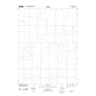
2012 Map of Glade SW
USGS Topo · Published 2012About this map
Plainview Cem serves as a quiet landmark in this rural portion of Phillips County, where the landscape is defined by the subtle drainage patterns of Bow Cr and Ash Cr. The map reveals a strictly organized section-line road network, common across the Kansas plains, which facilitates travel between remote farmsteads and agricultural holdings. Named routes like W Big Bear Ln and W Cozy Cove Rd suggest modern residential or recreational development integrated into the traditional grid of numerical and alphabetical roads such as 7 Rd and E Rd. This 2012 survey illustrates the enduring nature of the Great Plains' rural infrastructure, preserving the exact locations of burial grounds and watercourses that have served local families for generations.
Find a feature on this map
21 named features on this map. Tap any name to fly to it.
Don’t see what you’re looking for? This feature index may not catch every label — zoom into the map to look around manually.
Map Details
Editions of this 2012 Glade SW Map
This is the sole edition of this map. No revisions or reprints were ever made.
Other maps of this area

1893 · Norton
USGS Topo · 1:125,000

1893 · Phillipsburg
USGS Topo · 1:125,000

1893 · Hill
USGS Topo · 1:125,000

1896 · Plainville
USGS Topo · 1:125,000

1952 · Webster Dam
USGS Topo · 1:24,000

1953 · Stockton
USGS Topo · 1:24,000

1955 · Beloit
USGS Topo · 1:250,000

1959 · Beloit
USGS Topo · 1:250,000

1969 · Nicodemus
USGS Topo · 1:24,000

1972 · Speed
USGS Topo · 1:24,000