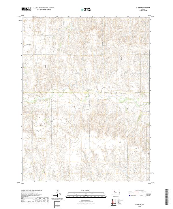
2022 Map of Glade SW
USGS Topo · Published 2022About this map
Plainview Cem serves as a primary point of interest in this section of the High Plains, situated just north of the county line. The landscape is defined by the winding course of Bow Cr, which cuts through the terrain as it flows across the border between Phillips County and Rooks County. The area maintains a strict section-line road grid, though several routes bear distinctive local names such as W Cozy Cove Rd, W Day Dream Rd, and W Early Eve Rd, suggesting residential or recreational development integrated into the traditional agricultural layout. This survey captures the rural character of the Kansas borderlands, where wide-reaching townships like t5s r19w and t6s r19w meet along the creek drainage.
Find a feature on this map
28 named features on this map. Tap any name to fly to it.
Don’t see what you’re looking for? This feature index may not catch every label — zoom into the map to look around manually.
Map Details
Editions of this 2022 Glade SW Map
This is the sole edition of this map. No revisions or reprints were ever made.
Other maps of this area

1893 · Norton
USGS Topo · 1:125,000

1893 · Phillipsburg
USGS Topo · 1:125,000

1893 · Hill
USGS Topo · 1:125,000

1896 · Plainville
USGS Topo · 1:125,000

1952 · Webster Dam
USGS Topo · 1:24,000

1953 · Stockton
USGS Topo · 1:24,000

1955 · Beloit
USGS Topo · 1:250,000

1959 · Beloit
USGS Topo · 1:250,000

1969 · Nicodemus
USGS Topo · 1:24,000

1972 · Speed
USGS Topo · 1:24,000