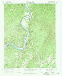
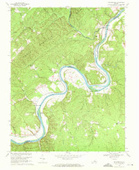
1969 Map of Gladstone
USGS Topo · Published 1971About this map
The James River carves a dramatic S-curve through this Central Virginia landscape, serving as the definitive border between Nelson, Buckingham, and Appomattox counties. This late-1960s survey documents the river-oriented infrastructure of the era, where the Chesapeake and Ohio railroad tracks hug the northern bank, connecting riverfront outposts like Buffalo Station and Greenway. The terrain is defined by prominent ridges including Buffalo Ridge and Pruetts Mountain, which overlook a network of narrow hollows and creeks. Local life centers on rural crossroads and small riverside communities such as Gladstone, which features the Gladstone Sch and proximity to the Smith Islands. Farther inland, the map captures a series of family-named landmarks and spiritual centers, from the Mineral Springs Ch near Five Forks to the Maple Grove Ch situated near the mouth of Bent Creek.
Find a feature on this map
55 named features on this map. Tap any name to fly to it.
Don’t see what you’re looking for? This feature index may not catch every label — zoom into the map to look around manually.
Map Details
Editions of this 1969 Gladstone Map
4 editions found
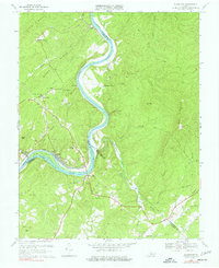
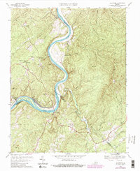
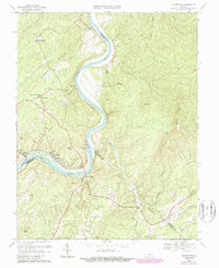
Other maps of this area

1892 · Buckingham
USGS Topo · 1:125,000

1892 · Appomattox
USGS Topo · 1:125,000

1947 · Roanoke
USGS Topo · 1:250,000

1958 · Appomattox
USGS Topo · 1:62,500

1958 · Pamplin City
USGS Topo · 1:62,500

1959 · Roanoke
USGS Topo · 1:250,000

1961 · Shipman
USGS Topo · 1:62,500

1961 · Buckingham
USGS Topo · 1:62,500

1963 · Roanoke
USGS Topo · 1:250,000
1968 · Howardsville
USGS Topo · 1:24,000