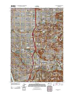
2011 Map of Gladstone
USGS Topo · Published 2011About this map
Willamette National Cemetery and Lincoln Memorial Cemetery dominate the slopes of Mount Scott, illustrating the large-scale memorial landscapes of the southeastern Portland metropolitan fringe. This 2011 survey captures the dense suburban expansion between the Willamette River and the Clackamas River, where established neighborhoods like Woodstock and Eastmoreland meet newer developments in Happy Valley. The terrain is defined by volcanic features, including Powell Butte and Mount Talbert, which remain as prominent green spaces amidst the residential grid. Transport and community hubs are well-defined, from the commercial corridors of Clackamas and Lents to specialized sites like the Gladstone Park Seventh Day Adventist Camp. Smaller residential pockets such as Jennings Lodge and the incorporated Johnson City show the varied jurisdictional nature of the region as it transitioned into the early 21st century.
Find a feature on this map
113 named features on this map. Tap any name to fly to it.
Don’t see what you’re looking for? This feature index may not catch every label — zoom into the map to look around manually.
Map Details
Editions of this 2011 Gladstone Map
This is the sole edition of this map. No revisions or reprints were ever made.
Other maps of this area

1897 · Portland
USGS Topo · 1:62,500

1905 · Portland
USGS Topo · 1:62,500

1911 · Boring
USGS Topo · 1:48,000

1914 · Boring
USGS Topo · 1:62,500

1914 · Oregon City
USGS Topo · 1:62,500

1916 · Estacada
USGS Topo · 1:125,000

1918 · Troutdale
USGS Topo · 1:62,500

1934 · Troutdale
USGS Topo · 1:48,000

1939 · Oregon City
USGS Topo · 1:62,500

1940 · Boring
USGS Topo · 1:62,500