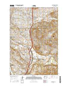
2017 Map of Gladstone
USGS Topo · Published 2017About this map
The Clackamas River meets the Willamette River at the southern edge of this suburban landscape, framing the communities of Gladstone and Jennings Lodge. This 2017 survey documents the densely developed corridor between Portland and the rising terrain of Mount Scott and Scouter Mtn. Extensive cemetery grounds, including Lincoln Memorial Cem and the Keser Israel and Shaarie Torah Cemeteries, represent significant local landmarks. The transition from the residential grids of Lents and Woodstock to the more varied topography of Happy Valley is clearly visible. Notable features for genealogists and local historians include several burial grounds such as Deardorf Pioneer Cem and the Happy Valley Airport, which sits tucked against the hills east of Sunnyside.
Find a feature on this map
53 named features on this map. Tap any name to fly to it.
Don’t see what you’re looking for? This feature index may not catch every label — zoom into the map to look around manually.
Map Details
Editions of this 2017 Gladstone Map
This is the sole edition of this map. No revisions or reprints were ever made.
Other maps of this area

1897 · Portland
USGS Topo · 1:62,500

1905 · Portland
USGS Topo · 1:62,500

1911 · Boring
USGS Topo · 1:48,000

1914 · Boring
USGS Topo · 1:62,500

1914 · Oregon City
USGS Topo · 1:62,500

1916 · Estacada
USGS Topo · 1:125,000

1918 · Troutdale
USGS Topo · 1:62,500

1934 · Troutdale
USGS Topo · 1:48,000

1939 · Oregon City
USGS Topo · 1:62,500

1940 · Boring
USGS Topo · 1:62,500