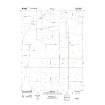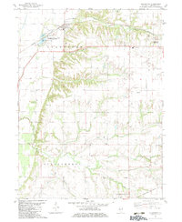
1982 Map of Gladstone
USGS Topo · Published 1983About this map
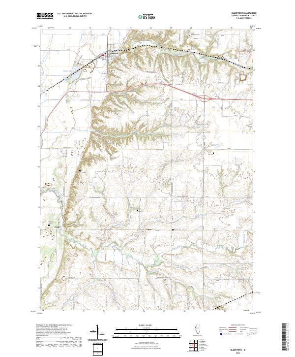
The Burlington Northern railroad corridor anchors the northern reach of this landscape, passing through Gladstone and providing a transport spine above the Henderson County State Conservation Area. This 1980s-era study illustrates a transition from the level floodplain near Dutton L and Gladstone Lake to the dissected hills and hollows of the Stronghurst and Biggsville regions. Small rural nodes like Olena and Hopper reflect the area's agricultural settlement pattern, connected by a network of drainage systems including Ellison Creek and Middle Creek. Local social history is deeply embedded in the terrain, marked by numerous family and community burial grounds such as Watson Cem and Huss Cem. The presence of the Union High Sch and several remote church sites like South Henderson Ch highlights the dispersed nature of Henderson County's rural communities during this period.
Find a feature on this map
42 named features on this map. Tap any name to fly to it.
Don’t see what you’re looking for? This feature index may not catch every label — zoom into the map to look around manually.
Map Details
Editions of this 1982 Gladstone Map
This is the sole edition of this map. No revisions or reprints were ever made.
Historical Maps of Stronghurst Through Time
6 maps found