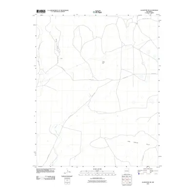
2010 Map of Gladstone NW
USGS Topo · Published 2010About this map
Barela Canyon cuts through this high plains landscape of Union County, providing a stark topographical contrast to the surrounding plateau. The 2010 environment is defined by a sparse network of county roads that connect remote outposts like Armijo and Biffle. The presence of Lower Garret Dam suggests the importance of water management in this arid region, where intermittent drainage patterns feed into the expansive Don Carlos Hills to the south. This area remains primarily characterized by its vast open spaces and ranching infrastructure, reflected in the system of designated routes such as County Rd A115 and County Hwy A-005 that cross the plains.
Find a feature on this map
12 named features on this map. Tap any name to fly to it.
Don’t see what you’re looking for? This feature index may not catch every label — zoom into the map to look around manually.
Map Details
Editions of this 2010 Gladstone NW Map
This is the sole edition of this map. No revisions or reprints were ever made.
Other maps of this area

1954 · Raton
USGS Topo · 1:250,000

1954 · Dalhart
USGS Topo · 1:250,000

1958 · Raton
USGS Topo · 1:250,000

1958 · Dalhart
USGS Topo · 1:250,000

1962 · Dalhart
USGS Topo · 1:250,000

1971 · Palo Blanco Mountain
USGS Topo · 1:24,000

1972 · Malpie Mountain
USGS Topo · 1:24,000

1972 · Cow Mountain
USGS Topo · 1:24,000

1973 · Gladstone NW
USGS Topo · 1:24,000

1973 · Sofia
USGS Topo · 1:24,000