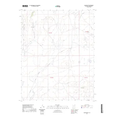
2023 Map of Gladstone NW
USGS Topo · Published 2023About this map
Barela Canyon and the surrounding high plains of Union County define this modern topographic landscape. This area is characterized by significant natural drainages including Palo Blanco Creek and Barela Creek, which cut through the terrain. The map detail highlights the volcanic topography of the Don Carlos Hills in the southeast, a prominent landmark in this cattle-ranching region. This 2023 survey provides a clear view of the rural transportation network, where unpaved corridors like Doncanoe Rd and Don Carlos Rd follow the natural contours of the land. The absence of dense settlements underscores the open, agricultural character of the territory during this period, showing how local access remains tied to established county roads such as Co Rd A115 and Co Rd A001.
Find a feature on this map
16 named features on this map. Tap any name to fly to it.
Don’t see what you’re looking for? This feature index may not catch every label — zoom into the map to look around manually.
Map Details
Editions of this 2023 Gladstone NW Map
This is the sole edition of this map. No revisions or reprints were ever made.
Other maps of this area

1954 · Raton
USGS Topo · 1:250,000

1954 · Dalhart
USGS Topo · 1:250,000

1958 · Raton
USGS Topo · 1:250,000

1958 · Dalhart
USGS Topo · 1:250,000

1962 · Dalhart
USGS Topo · 1:250,000

1971 · Palo Blanco Mountain
USGS Topo · 1:24,000

1972 · Malpie Mountain
USGS Topo · 1:24,000

1972 · Cow Mountain
USGS Topo · 1:24,000

1973 · Gladstone NW
USGS Topo · 1:24,000

1973 · Sofia
USGS Topo · 1:24,000