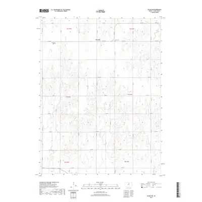
2018 Map of Glasco NE
USGS Topo · Published 2018About this map
Macyville sits at the intersection of several rural roads in Cloud County, serving as a central point in this agricultural landscape of North Central Kansas. The terrain is defined by a dense network of drainage systems, including Fisher Cr and W Br Wolf Cr, which have carved intricate contours across the plains. This 2018 survey reveals a territory predominantly organized by the Public Land Survey System, with a rigid grid of local routes like Co Rd 372 and Co Rd 771 that navigate around the natural watercourses. Genealogists and local historians can find significant landmarks preserved on this sheet, notably the Highland Methodist Cem and the Morrison Cem, both situated near the small settlement area. These features, along with the numerous named creeks such as Cris Cr and Coal Cr, provide a detailed record of the land's heritage and physical geography in the modern era.
Find a feature on this map
41 named features on this map. Tap any name to fly to it.
Don’t see what you’re looking for? This feature index may not catch every label — zoom into the map to look around manually.
Map Details
Editions of this 2018 Glasco NE Map
This is the sole edition of this map. No revisions or reprints were ever made.
Other maps of this area
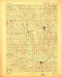
1892 · Concordia
USGS Topo · 1:125,000
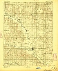
1892 · Minneapolis
USGS Topo · 1:125,000
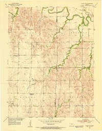
1952 · Glasco SW
USGS Topo · 1:24,000
1952 · Glasco
USGS Topo · 1:24,000
1953 · Glasco NE
USGS Topo · 1:24,000
1953 · Simpson
USGS Topo · 1:24,000

1955 · Manhattan
USGS Topo · 1:250,000
1956 · Manhattan
USGS Topo · 1:250,000
1957 · Manhattan
USGS Topo · 1:250,000
1965 · Aurora SW
USGS Topo · 1:24,000