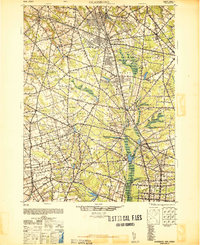
1948 Map of Glassboro
USGS Topo · Published 1948About this map
The agricultural and industrial landscape of Gloucester, Salem, and Cumberland Counties unfolds across this 1940s survey. The Pennsylvania-Reading Seashore Lines and the West Jersey and Seashore RR anchor the transport network, connecting regional centers like Pitman and Glassboro to smaller rural hubs. The southern portion of the map highlights the significant agricultural operations at Seabrook Farms and the proximity of the Vineland Airport near North Vineland.
Find a feature on this map
78 named features on this map. Tap any name to fly to it.
Don’t see what you’re looking for? This feature index may not catch every label — zoom into the map to look around manually.
Map Details
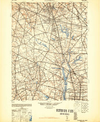
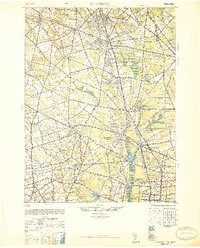
Editions of this 1948 Glassboro Map
3 editions found
Other maps of this area

1888 · Mount Holly
USGS Topo · 1:62,500

1890 · Hammonton
USGS Topo · 1:62,500

1890 · Salem
USGS Topo · 1:62,500

1890 · Tuckahoe
USGS Topo · 1:62,500

1890 · Bay Side
USGS Topo · 1:62,500

1890 · Bridgeton
USGS Topo · 1:62,500

1890 · Glassboro
USGS Topo · 1:62,500

1891 · Philadelphia
USGS Topo · 1:62,500

1893 · Tuckahoe
USGS Topo · 1:62,500

1894 · Bay Side
USGS Topo · 1:62,500