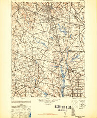
1948 Map of Glassboro
USGS Topo · Published 1948About this map
Seabrook Farms and the surrounding agricultural landscape of Gloucester County and Salem County define this mid-century survey. The region is heavily marked by the rail infrastructure of the Pennsylvania-Reading Seashore Lines, which connects established boroughs like Pitman and Glassboro to the smaller agricultural hubs of Elmer and Newfield. The drainage patterns of Maurice River and Still Run are dotted with numerous small lakes and mill sites, including Jessups Mill and Fries Mill, indicating a long history of water-powered industry in the South Jersey interior.
Find a feature on this map
89 named features on this map. Tap any name to fly to it.
Don’t see what you’re looking for? This feature index may not catch every label — zoom into the map to look around manually.
Map Details
Editions of this 1948 Glassboro Map
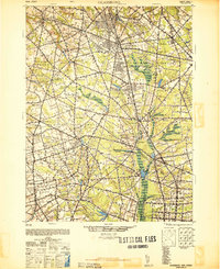
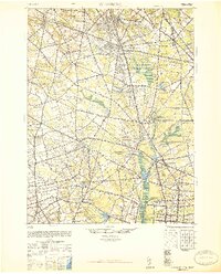
3 editions found
Other maps of this area

1888 · Mount Holly
USGS Topo · 1:62,500

1890 · Hammonton
USGS Topo · 1:62,500

1890 · Salem
USGS Topo · 1:62,500
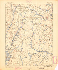
1890 · Tuckahoe
USGS Topo · 1:62,500

1890 · Bay Side
USGS Topo · 1:62,500
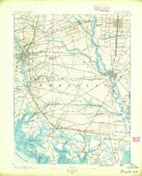
1890 · Bridgeton
USGS Topo · 1:62,500

1890 · Glassboro
USGS Topo · 1:62,500

1891 · Philadelphia
USGS Topo · 1:62,500
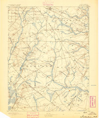
1893 · Tuckahoe
USGS Topo · 1:62,500
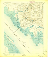
1894 · Bay Side
USGS Topo · 1:62,500