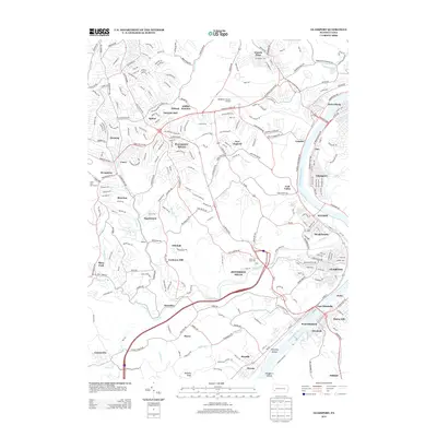
2013 Map of Glassport
USGS Topo · Published 2013About this map
The Monongahela River carves a deep industrial and residential corridor through this portion of Allegheny County, anchoring a dense network of boroughs and settlements. The riverfront is defined by the legacy of steel and transport, with Glassport, Clairton, and Elizabeth lining the eastern and western banks. Inland, the landscape transitions from the aviation infrastructure of the Allegheny County Airport near Lincoln Place to the suburban developments of Pleasant Hills.
Find a feature on this map
256 named features on this map. Tap any name to fly to it.
Don’t see what you’re looking for? This feature index may not catch every label — zoom into the map to look around manually.
Map Details
Editions of this 2013 Glassport Map
This is the sole edition of this map. No revisions or reprints were ever made.
Other maps of this area

1901 · Amity
USGS Topo · 1:62,500

1902 · Brownsville
USGS Topo · 1:62,500

1904 · Amity
USGS Topo · 1:62,500

1904 · Mc Keesport
USGS Topo · 1:62,500

1904 · Carnegie
USGS Topo · 1:62,500

1906 · Brownsville
USGS Topo · 1:62,500

1906 · Carnegie
USGS Topo · 1:62,500

1907 · Pittsburg
USGS Topo · 1:62,500

1908 · Carnegie
USGS Topo · 1:62,500

1931 · Brownsville
USGS Topo · 1:62,500