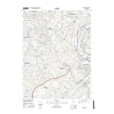
2016 Map of Glassport
USGS Topo · Published 2016About this map
Allegheny County Airport and the surrounding industrial corridor of the Monongahela River anchor this detailed study of the suburban and industrial landscape south of Pittsburgh. The map documents a dense network of neighborhoods including Brentwood, West Mifflin, and Pleasant Hills, where residential expansion meets the region's deep-rooted steel and transportation heritage. Evidence of long-standing community life is visible in the numerous religious and memorial sites, such as the Saint Peters Episcopal Church Columbarium and the sprawling Jefferson Memorial Park.
Find a feature on this map
89 named features on this map. Tap any name to fly to it.
Don’t see what you’re looking for? This feature index may not catch every label — zoom into the map to look around manually.
Map Details
Editions of this 2016 Glassport Map
This is the sole edition of this map. No revisions or reprints were ever made.
Other maps of this area

1901 · Amity
USGS Topo · 1:62,500

1902 · Brownsville
USGS Topo · 1:62,500

1904 · Amity
USGS Topo · 1:62,500

1904 · Mc Keesport
USGS Topo · 1:62,500

1904 · Carnegie
USGS Topo · 1:62,500

1906 · Brownsville
USGS Topo · 1:62,500

1906 · Carnegie
USGS Topo · 1:62,500

1907 · Pittsburg
USGS Topo · 1:62,500

1908 · Carnegie
USGS Topo · 1:62,500

1931 · Brownsville
USGS Topo · 1:62,500