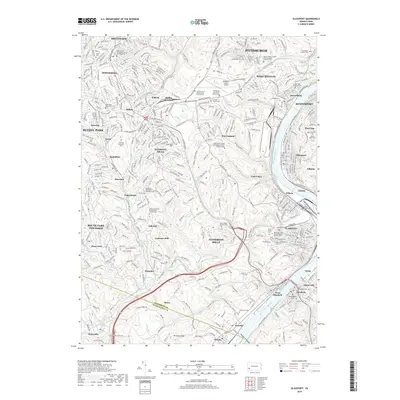
2019 Map of Glassport
USGS Topo · Published 2019About this map
The Monongahela River corridor defines the eastern edge of this Pittsburgh region, serving as the industrial and logistical spine for towns like Glassport, Clairton, and Dravosburg. Higher ground to the west is dominated by the Allegheny County Airport and the sprawling campus of the Pittsburgh Institute of Aeronautics. This landscape is characterized by a high density of religious and commemorative sites, including the Lebanon Church Cem and Saint Peters Episcopal Church Columbarium, which reflect the long-standing community heritage of West Mifflin and Whitehall. The intricate topography is carved by numerous waterways such as Peters Creek, Lick Run, and Streets Run. Notable infrastructure like Mifflin Junction and the B & O RR demonstrate the area's historical reliance on rail for transporting raw materials from points like Coal Valley and Cochrans Mill.
Find a feature on this map
91 named features on this map. Tap any name to fly to it.
Don’t see what you’re looking for? This feature index may not catch every label — zoom into the map to look around manually.
Map Details
Editions of this 2019 Glassport Map
This is the sole edition of this map. No revisions or reprints were ever made.
Other maps of this area

1901 · Amity
USGS Topo · 1:62,500

1902 · Brownsville
USGS Topo · 1:62,500

1904 · Amity
USGS Topo · 1:62,500

1904 · Mc Keesport
USGS Topo · 1:62,500

1904 · Carnegie
USGS Topo · 1:62,500

1906 · Brownsville
USGS Topo · 1:62,500

1906 · Carnegie
USGS Topo · 1:62,500

1907 · Pittsburg
USGS Topo · 1:62,500

1908 · Carnegie
USGS Topo · 1:62,500

1931 · Brownsville
USGS Topo · 1:62,500