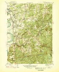
1946 Map of Glastonbury
USGS Topo · Published 1946About this map
The Connecticut River defines the western edge of this 1940s landscape, bordering the Glastonbury Meadows and the rising uplands of the Hartford and Middlesex county line. Inland from the river, the village of Glastonbury serves as a hub for a network of smaller settlements and agricultural crossroads, including Naubuc, Addison, and South Glastonbury. The transportation network is anchored by the historic New London Turnpike, while the more secluded Dark Hollow Turnpike winds through the rugged eastern terrain toward Dark Hollow Brook.
Find a feature on this map
60 named features on this map. Tap any name to fly to it.
Don’t see what you’re looking for? This feature index may not catch every label — zoom into the map to look around manually.
Map Details
Editions of this 1946 Glastonbury Map
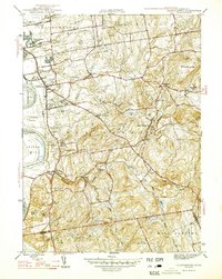
2 editions found
Other maps of this area

1892 · Hartford
USGS Topo · 1:62,500

1892 · Tolland
USGS Topo · 1:62,500

1892 · Gilead
USGS Topo · 1:62,500

1893 · Middletown
USGS Topo · 1:62,500

1906 · Farmington
USGS Topo · 1:125,000

1921 · Tolland
USGS Topo · 1:62,500

1928 · Cromwell
USGS Topo · 1:24,000

1928 · Windsor
USGS Topo · 1:24,000

1928 · Glastonbury
USGS Topo · 1:24,000

1928 · Manchester
USGS Topo · 1:24,000