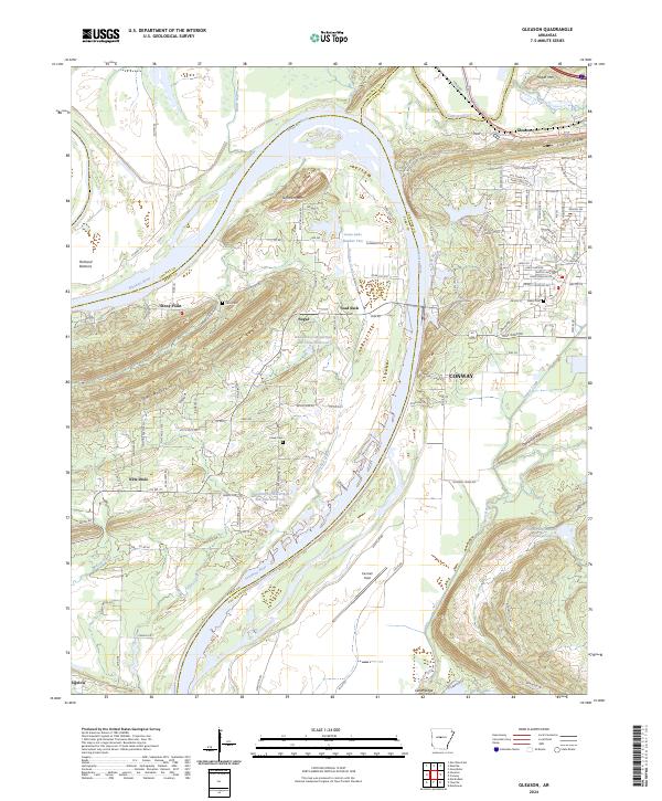
2024 Map of Gleason
USGS Topo · Published 2024About this map
The Arkansas River carves a massive horseshoe bend through this region, shaping the local geography from the low-lying Portland Bottoms to the heights of Jefferson Mtn. This reach of the river serves as a natural boundary between several counties, including Conway, Faulkner, and Perry. The settlement pattern is defined by small communities and rural family landmarks, such as the Edlin Cem near Stony Point and the Casey Cem situated between New Dixie and Toad Suck.
Find a feature on this map
122 named features on this map. Tap any name to fly to it.
Don’t see what you’re looking for? This feature index may not catch every label — zoom into the map to look around manually.
Map Details
Editions of this 2024 Gleason Map
This is the sole edition of this map. No revisions or reprints were ever made.
Other maps of this area

1890 · Benton
USGS Topo · 1:125,000

1891 · Little Rock
USGS Topo · 1:125,000

1892 · Morrillton
USGS Topo · 1:125,000

1893 · Little Rock
USGS Topo · 1:125,000

1894 · Morrillton
USGS Topo · 1:125,000

1894 · Benton
USGS Topo · 1:125,000

1953 · Mayflower
USGS Topo · 1:24,000

1955 · Little Rock
USGS Topo · 1:250,000

1956 · Little Rock
USGS Topo · 1:250,000

1956 · Russellville
USGS Topo · 1:250,000