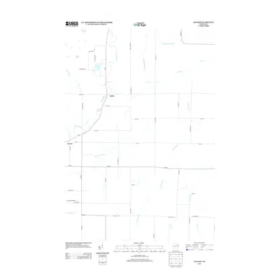
2013 Map of Gleason
USGS Topo · Published 2013About this map
Prairie River winds through the heart of this Northwoods landscape, anchoring the settlements of Gleason and Dudley. The area is defined by a dense network of tributaries and glacial lakes, including McGinnis Lake, Echo Lake, and Burlock Lake, which drain into the branching waters of the N Br Pine River and Big Hay Meadow Cr. Wisconsin State Highway Wi-17 provides the primary north-south corridor, connecting these small communities and rural tracts. The presence of the Haymeadow Airport and names like Besler suggest a landscape of remote landing strips and localized hubs. A structured grid of secondary roads such as Co Hwy-J and Co Hwy-X intersects the natural drainage of Silver Cr and McCloud Cr, reflecting the region's historical reliance on timber and small-scale agriculture.
Find a feature on this map
42 named features on this map. Tap any name to fly to it.
Don’t see what you’re looking for? This feature index may not catch every label — zoom into the map to look around manually.
Map Details
Editions of this 2013 Gleason Map
This is the sole edition of this map. No revisions or reprints were ever made.
Other maps of this area

1899 · Wausau
USGS Topo · 1:125,000

1902 · Wausau
USGS Topo · 1:125,000

1940 · Parrish
USGS Topo · 1:48,000

1950 · Parrish
USGS Topo · 1:48,000

1950 · Tomahawk
USGS Topo · 1:48,000

1951 · Doering
USGS Topo · 1:48,000

1951 · Merrill
USGS Topo · 1:48,000

1952 · Parrish
USGS Topo · 1:48,000

1952 · Tomahawk
USGS Topo · 1:48,000

1954 · Iron Mountain
USGS Topo · 1:250,000