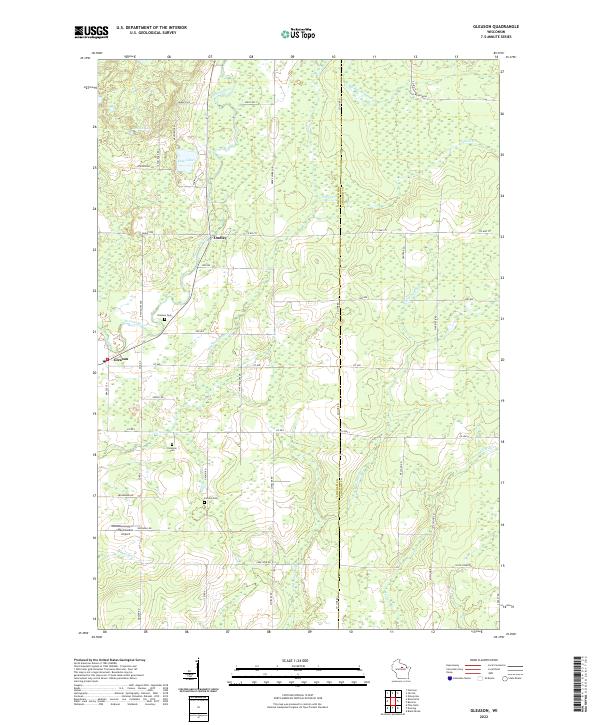
2022 Map of Gleason
USGS Topo · Published 2022About this map
The Prairie River winds through this central Wisconsin landscape, defining the character of Gleason and the nearby settlement of Dudley. This area at the border of Lincoln and Langlade counties is a transition of water and wetlands, where the Big Hay Meadow Cr and N Br Pine River meet numerous marshes and meadows. The concentration of immigrant heritage sites is particularly striking, with the Latvian Cem and Estonian Cem located just south of town, providing a direct link to the ethnic settlement patterns of northern Wisconsin.
Find a feature on this map
37 named features on this map. Tap any name to fly to it.
Don’t see what you’re looking for? This feature index may not catch every label — zoom into the map to look around manually.
Map Details
Editions of this 2022 Gleason Map
This is the sole edition of this map. No revisions or reprints were ever made.
Other maps of this area

1899 · Wausau
USGS Topo · 1:125,000

1902 · Wausau
USGS Topo · 1:125,000

1940 · Parrish
USGS Topo · 1:48,000

1950 · Parrish
USGS Topo · 1:48,000

1950 · Tomahawk
USGS Topo · 1:48,000

1951 · Doering
USGS Topo · 1:48,000

1951 · Merrill
USGS Topo · 1:48,000

1952 · Parrish
USGS Topo · 1:48,000

1952 · Tomahawk
USGS Topo · 1:48,000

1954 · Iron Mountain
USGS Topo · 1:250,000