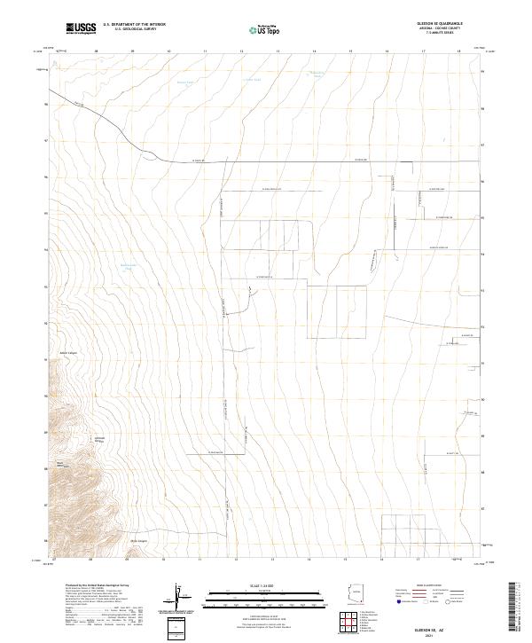
2021 Map of Gleeson SE
USGS Topo · Published 2021About this map
The Mule Mountains dominate the southwestern corner of this landscape, giving way to a network of drainage systems including Johnson Canyon, Dixie Canyon, and Abbot Canyon. This high-desert region of Cochise County is characterized by ranching infrastructure and a vast grid of rural access roads. Water management is central to the land's utility, marked by scattered reservoirs such as Ernest Tank, Toms Tank, Homestead Tank, and Rattlesnake Tank. The road network, including N High Lonesome Rd and N Marinade Ranch Rd, suggests a pattern of large-scale land divisions and ranching operations. The topography transitions from the steep elevations of the mountain range to the more level stretches of W High Noon Flats, illustrating the transition from the mountainous highlands to the desert basin floor.
Find a feature on this map
31 named features on this map. Tap any name to fly to it.
Don’t see what you’re looking for? This feature index may not catch every label — zoom into the map to look around manually.
Map Details
Editions of this 2021 Gleeson SE Map
This is the sole edition of this map. No revisions or reprints were ever made.
Other maps of this area

1902 · Bisbee
USGS Topo · 1:62,500

1910 · Bisbee
USGS Topo · 1:62,500

1914 · Douglas
USGS Topo · 1:62,500

1916 · Pearce
USGS Topo · 1:125,000

1916 · Douglas
USGS Topo · 1:125,000

1919 · Douglas
USGS Topo · 1:125,000

1922 · Swisshelm
USGS Topo · 1:62,500

1925 · Douglas
USGS Topo · 1:62,500

1925 · Gleeson
USGS Topo · 1:62,500

1927 · Bisbee
USGS Topo · 1:62,500