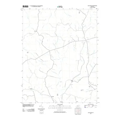
2010 Map of Glen Dean
USGS Topo · Published 2010About this map
Glen Dean and the surrounding rural landscape of Breckinridge County are defined by a dense network of creek valleys and distinctive knobs. The settlement of Tar Fork sits at the headwaters of its namesake stream, while Rock Lick Creek and Daniels Creek carve deep paths through the local terrain. This topographical study captures the area's agricultural and transit layout, highlighting the importance of family-named roads such as Carl Newby Rd and Jolly Farm Rd in connecting isolated farmsteads.
Find a feature on this map
44 named features on this map. Tap any name to fly to it.
Don’t see what you’re looking for? This feature index may not catch every label — zoom into the map to look around manually.
Map Details
Editions of this 2010 Glen Dean Map
This is the sole edition of this map. No revisions or reprints were ever made.
Other maps of this area

1928 · Hardinsburg
USGS Topo · 1:48,000

1931 · Hardinsburg
USGS Topo · 1:62,500

1932 · Fordsville
USGS Topo · 1:62,500

1934 · Cannelton
USGS Topo · 1:62,500

1947 · Hardinsburg
USGS Topo · 1:24,000

1947 · Hardinsburg
USGS Topo · 1:62,500

1953 · Mc Daniels
USGS Topo · 1:24,000

1953 · Hardinsburg
USGS Topo · 1:24,000

1953 · Kingswood
USGS Topo · 1:24,000

1953 · Cloverport
USGS Topo · 1:24,000