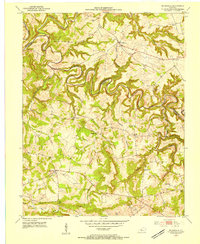
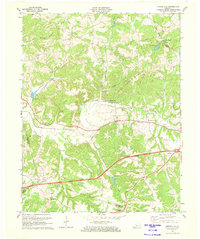
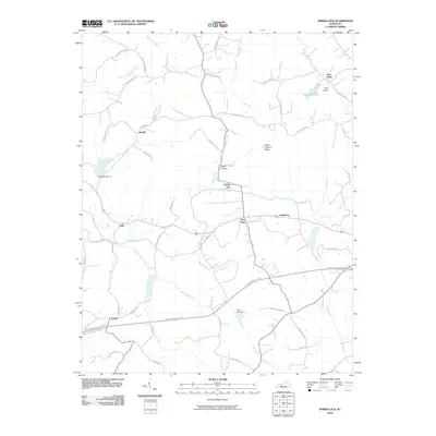
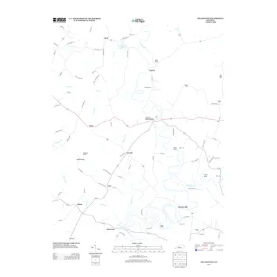
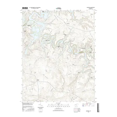
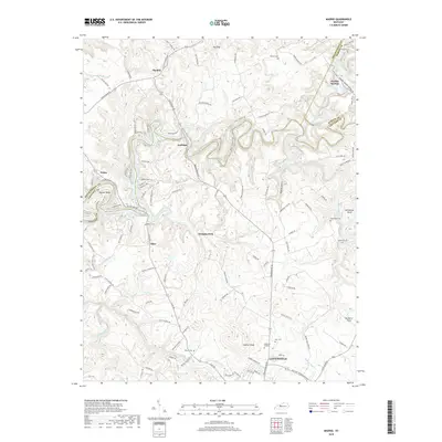
1953 Map of Mc Daniels
USGS Topo · Published 1954About this map
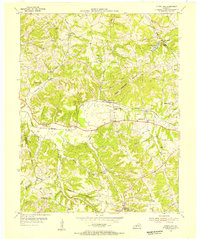
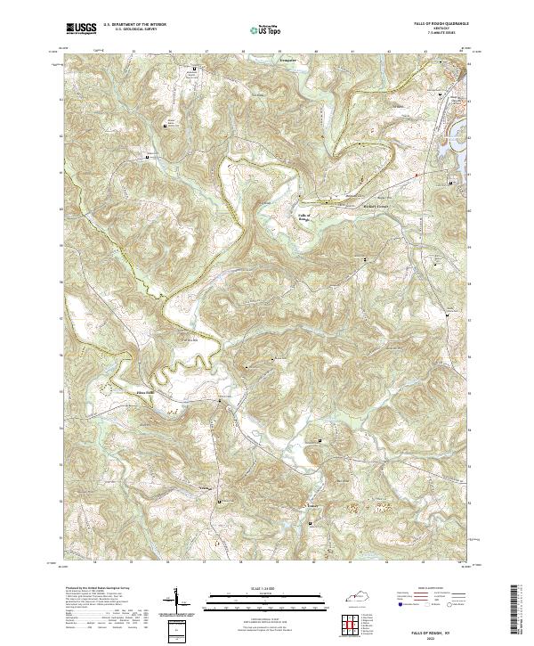
The Rough River carves a deeply incised, meandering path across the border of Breckinridge and Grayson Counties in the early 1950s. This rural landscape is defined by its ridge-top settlements and winding waterways, including the North Fork and Long Lick Cr. Small community hubs like McDaniels and Short Creek anchor the region, connected by a network of early state routes.
Find a feature on this map
44 named features on this map. Tap any name to fly to it.
Don’t see what you’re looking for? This feature index may not catch every label — zoom into the map to look around manually.
Map Details
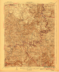
Editions of this 1953 Mc Daniels Map
This is the sole edition of this map. No revisions or reprints were ever made.
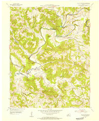
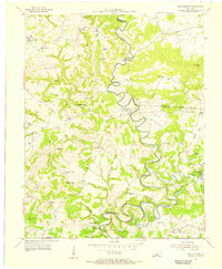
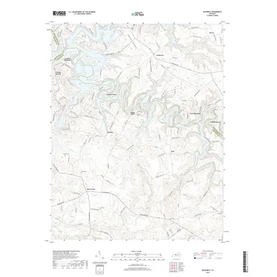
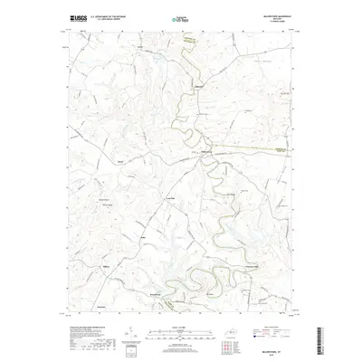
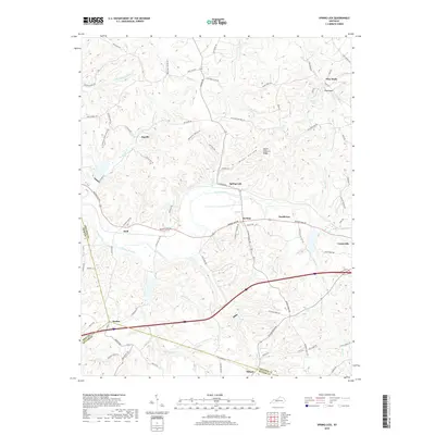
Historical Maps of Concord Through Time
35 maps found
1925 Cub Run
Grayson County, KY
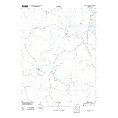
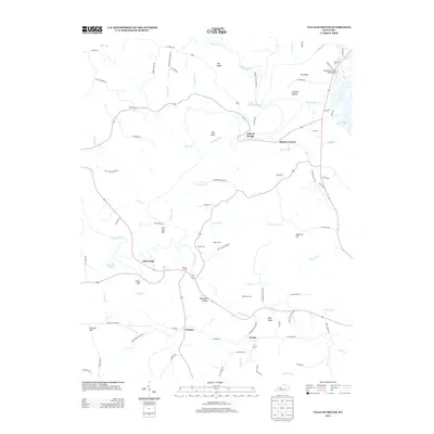
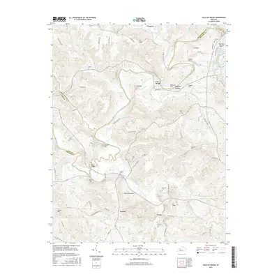
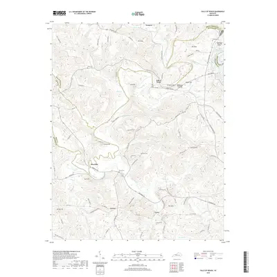
1953 Falls Of Rough
Grayson County, KY
1953 Mc Daniels
Grayson County, KY
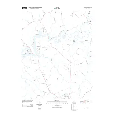
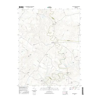
1954 Millerstown
Grayson County, KY
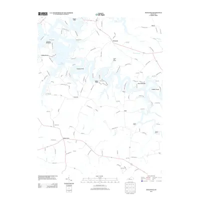
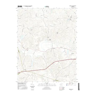
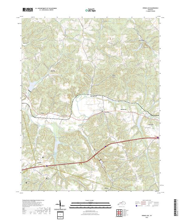
1954 Spring Lick
Grayson County, KY
1963 Falls of Rough
Grayson County, KY
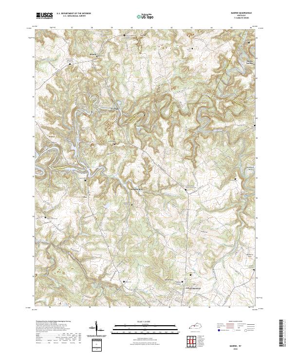
1963 Madrid
Grayson County, KY
1963 Mc Daniels
Grayson County, KY

1967 Millerstown
Grayson County, KY
1971 Spring Lick
Grayson County, KY
2010 Falls of Rough
Grayson County, KY

2010 Madrid
Grayson County, KY
2010 McDaniels
Grayson County, KY
2010 Millerstown
Grayson County, KY
2010 Spring Lick
Grayson County, KY
2013 Falls of Rough
Grayson County, KY
2013 Madrid
Grayson County, KY
2013 McDaniels
Grayson County, KY
2013 Millerstown
Grayson County, KY
2013 Spring Lick
Grayson County, KY
2016 Falls of Rough
Grayson County, KY
2016 Madrid
Grayson County, KY
2016 McDaniels
Grayson County, KY
2016 Millerstown
Grayson County, KY
2016 Spring Lick
Grayson County, KY
2019 Falls of Rough
Grayson County, KY
2019 Madrid
Grayson County, KY
2019 McDaniels
Grayson County, KY
2019 Millerstown
Grayson County, KY
2019 Spring Lick
Grayson County, KY
2022 Falls of Rough
Grayson County, KY
2022 Madrid
Grayson County, KY
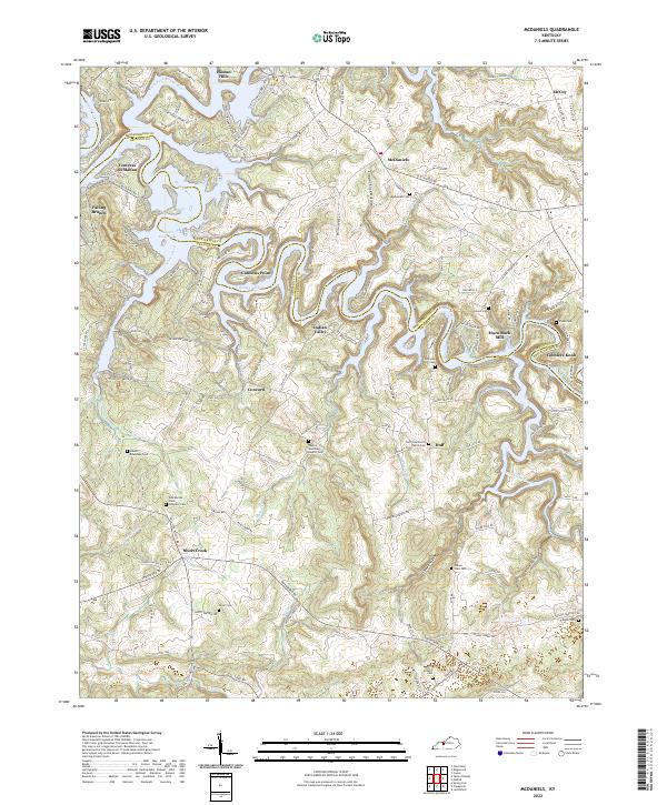
2022 McDaniels
Grayson County, KY
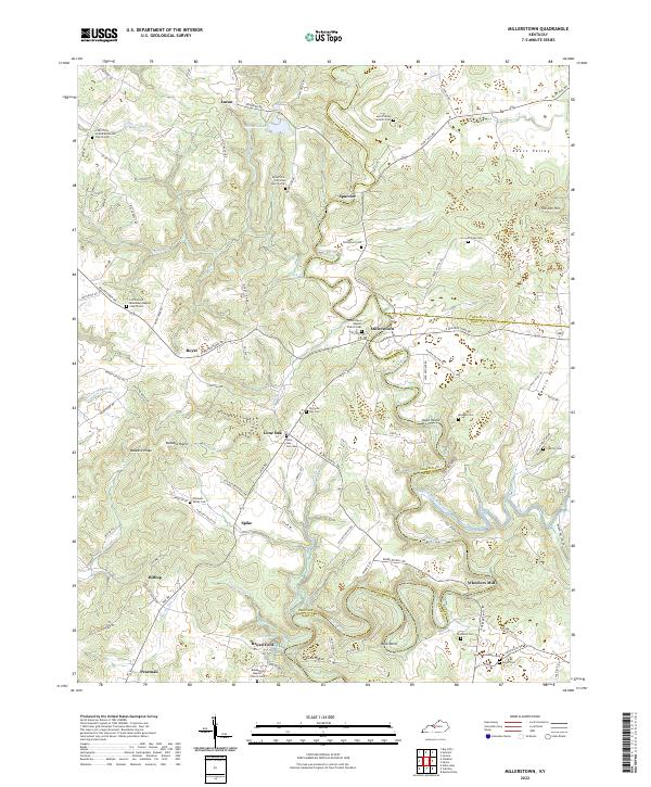
2022 Millerstown
Grayson County, KY
2022 Spring Lick
Grayson County, KY