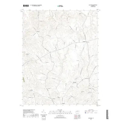
2019 Map of Glen Dean
USGS Topo · Published 2019About this map
Tar Fork and McQuady anchor this rural portion of Breckinridge County, where the landscape is defined by a network of winding creek valleys and isolated knobs. The map reveals a deeply rooted community infrastructure, documented through family-named thoroughfares such as Jolly Bowles Rd and Frank Dean Rd. Transportation history is evident in the path of Old Railroad Rd, which once connected the small settlements of Glen Dean and McQuady.
Find a feature on this map
67 named features on this map. Tap any name to fly to it.
Don’t see what you’re looking for? This feature index may not catch every label — zoom into the map to look around manually.
Map Details
Editions of this 2019 Glen Dean Map
This is the sole edition of this map. No revisions or reprints were ever made.
Other maps of this area

1928 · Hardinsburg
USGS Topo · 1:48,000

1931 · Hardinsburg
USGS Topo · 1:62,500

1932 · Fordsville
USGS Topo · 1:62,500

1934 · Cannelton
USGS Topo · 1:62,500

1947 · Hardinsburg
USGS Topo · 1:24,000

1947 · Hardinsburg
USGS Topo · 1:62,500

1953 · Mc Daniels
USGS Topo · 1:24,000

1953 · Hardinsburg
USGS Topo · 1:24,000

1953 · Kingswood
USGS Topo · 1:24,000

1953 · Cloverport
USGS Topo · 1:24,000